Mapping worksheet: how to warp a historic map, and how to add data to it
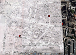
Do you want to know the very basics on how to geo-reference and warp a historic map? Do you want to add data (such as from a historic trade directory, your own database of historic events and places, etc) to it? Download my worksheet that I use as part of the postgraduate history research training here: http://protesthistory.org.uk/Navickasmapping.pdf first edition OS map of Hull warped and plotted
