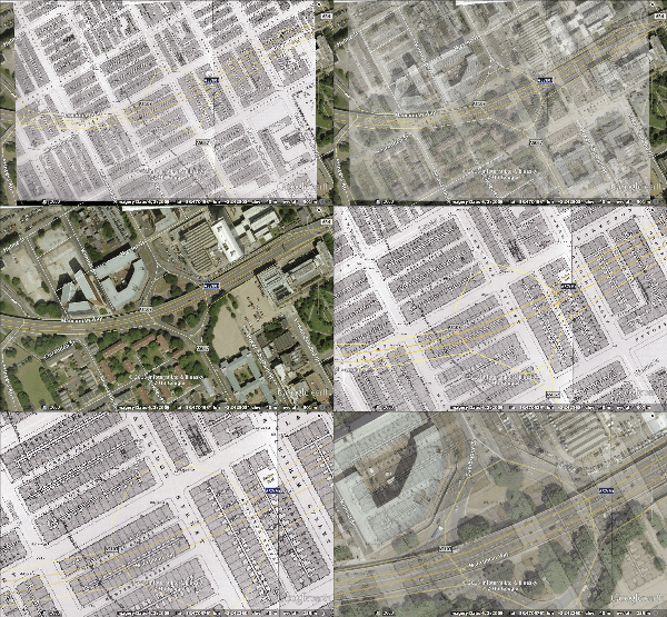
Just a quick post showing the first edition OS map of Hulme warped onto modern Manchester.
The back to backs have long gone, replaced by the Mancunian Way and carparks, and the University.
 |
| Hulme, 1848 first ed OS map |
 |
| Hulme today on google earth, view of the Mancunian way junction with Cambridge St |

This
1831 building at 8 Lower Ormond Street, with its original garden, is one of the few original buildings left in the area, alongside Grosvenor Gardens.The 'Scotch Church [Presbyterian]' drawn in detail next to it no longer survives, but near its place is the modern St. Augustine's RC church.


Comments
Post a Comment